this post was submitted on 04 Aug 2023
5 points (100.0% liked)
OpenStreetMap community
4918 readers
34 users here now
Everything #OpenStreetMap related is welcome: software releases, showing of your work, questions about how to tag something, as long as it has to do with OpenStreetMap or OpenStreetMap-related software.
OpenStreetMap is a map of the world, created by people like you and free to use under an open license.
Join OpenStreetMap and start mapping: https://www.openstreetmap.org/.
There are many communication channels about OSM, many organized around a certain country or region. Discover them on https://openstreetmap.community/
https://mapcomplete.org/ is an easy-to-use website to view, edit and add points (such as shops, restaurants and others)
https://learnosm.org/en/ has a lot of information for beginners too.
founded 5 years ago
MODERATORS
you are viewing a single comment's thread
view the rest of the comments
view the rest of the comments


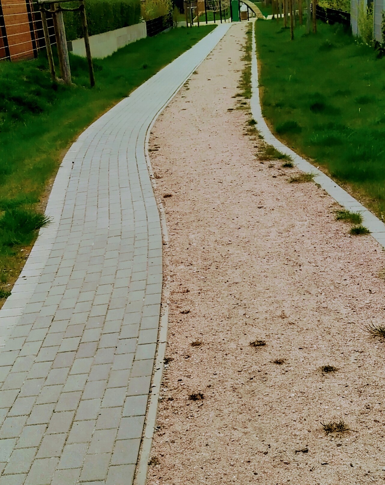
@bicycle @openstreetmap @osmberlin @wochenaufgabe Mglw. zwei direkt parallel laufende Wege mit unterschiedlichen Tags für ihre Oberflächen anlegen? Zumindest wäre das die schönere Variante sofern zuordbar ist, welcher Weg für Rad und Fuß sind. In der Form hier vielleicht als Notiz die zweite Oberfläche erfassen?
@laubblaeser @bicycle @openstreetmap @osmberlin @wochenaufgabe
Zwei parallel laufende Wege auf keinen Fall.
Das habe ich im alten Forum gefunden:
https://community.openstreetmap.org/t/surface-wie-taggen/72333/10