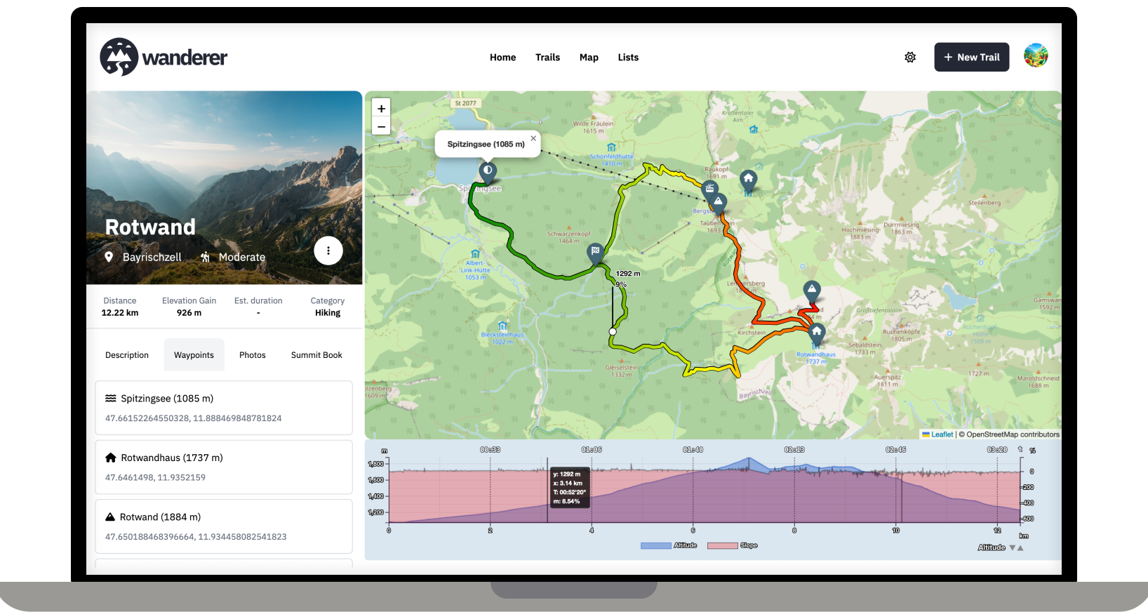
Over the last two months, I developed wanderer. It is a self-hosted alternative to sites like alltrails.com or in other words a self-hosted trail database. It started out more as a small hobby project to teach myself some new technologies but in the end, I decided to develop it into a fully-fledged application.
Core Features:
- Manage your trails
- Extensive map integration and visualization
- Share trails with other people and explore theirs
- Advanced filter and search functionality
- Create custom lists to organize your trails further
- Chique design with a dark and light theme
- Fully mobile compatible
wanderer is completely open-source. You can find the GitHub repo here: https://github.com/Flomp/wanderer
wanderer is still under active development so if you encounter any bugs/errors or have suggestions please let me know here or open an issue on GitHub.
I think you might misunderstand what wanderer does. It is not a maps service like Open Street Maps. It's simply a database in which you can store your GPS tracks. So the workflow would look like this: you are in the woods and record your track (e.g. with osmand) -> you store your track in GPX format -> you upload your track (and any additional info like a description or photos) to wanderer -> before your next adventure you check wanderer to decide what you want to do
An after action report, basically?
Logging trips offline requires background location services. This does not work for a simple website. You would need to program an app for that. While this is a plan somewhere down the line, it's still far away. So currently I would recommend relying on an external app to log your trip and import afterwards.
I have some tracks from dirt biking that I sometimes port into Google earth. Might have to give this thing a whirl.
To plan, organize or review routes.
This seems more like Garmin Basecamp, it's not supposed to be used on the routes themselves I'm guessing.
Offering print support for trails is high on the priority list.